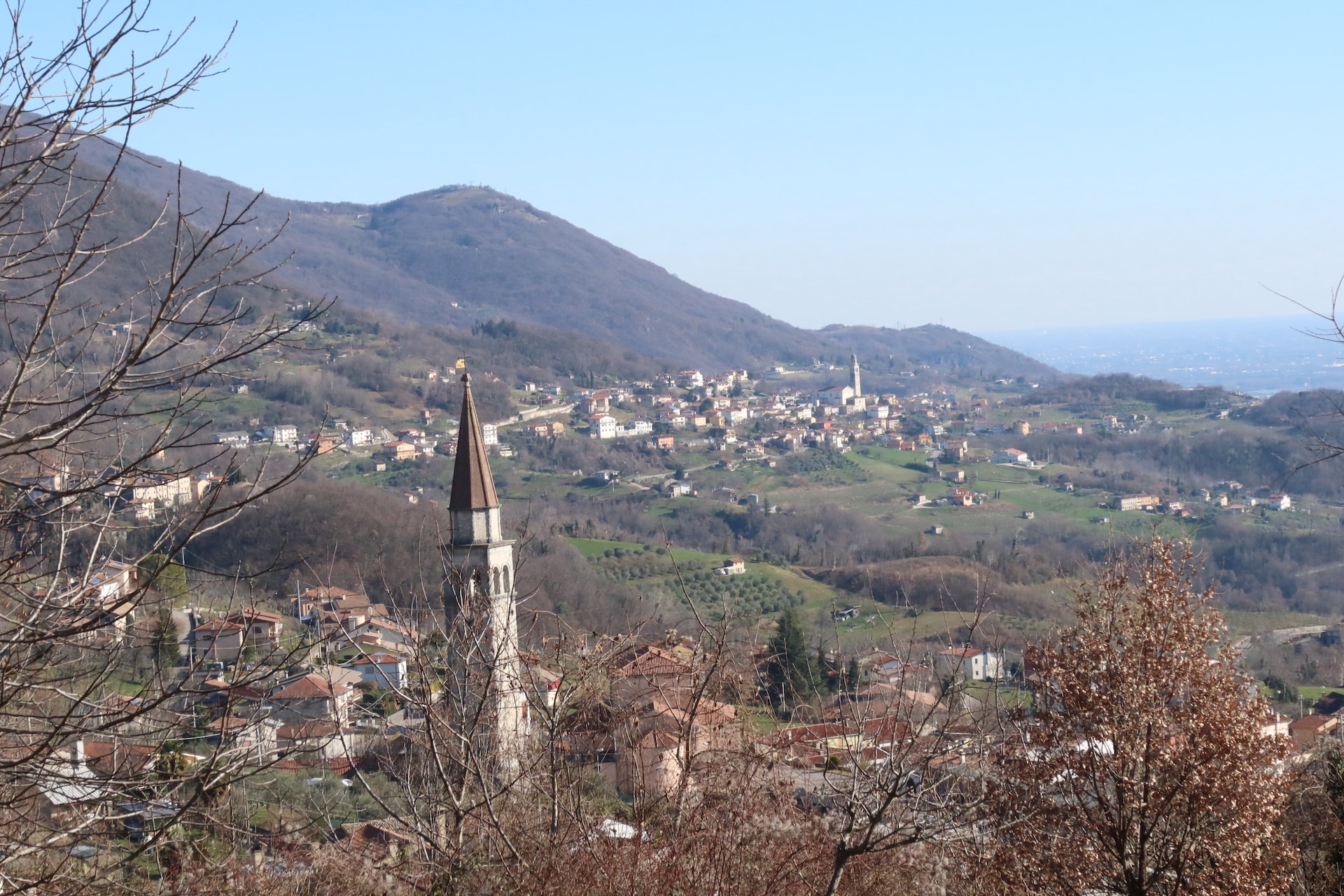
Starting point :
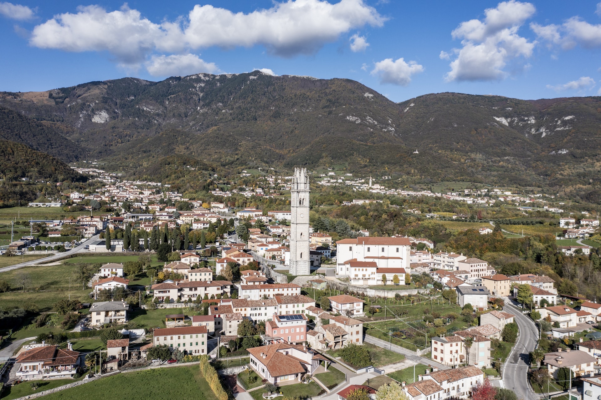
Fregona, piazza Maronese
Starting point coordinates :
46°0'5.08"N 12°20'22.83"E
The path
Description
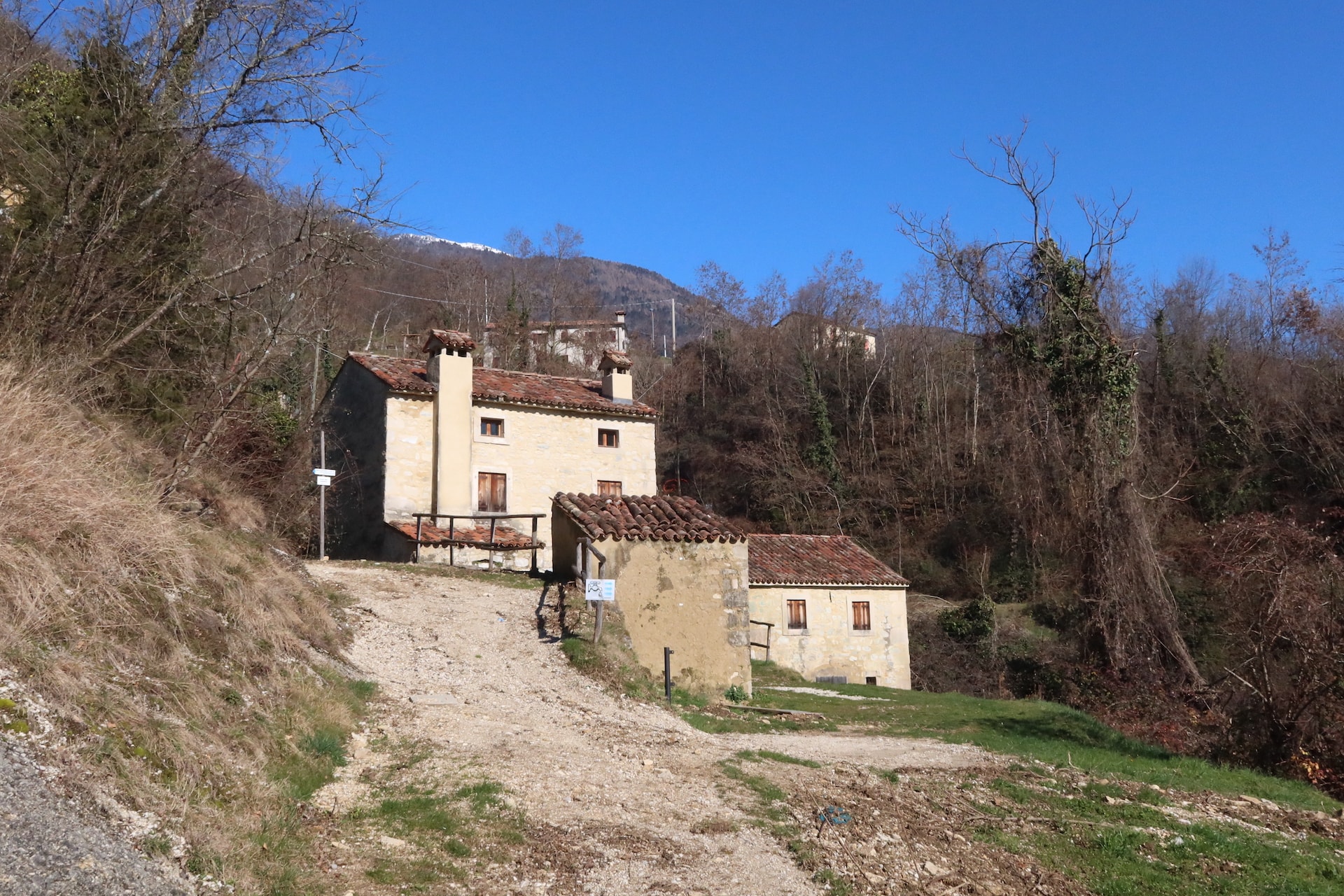
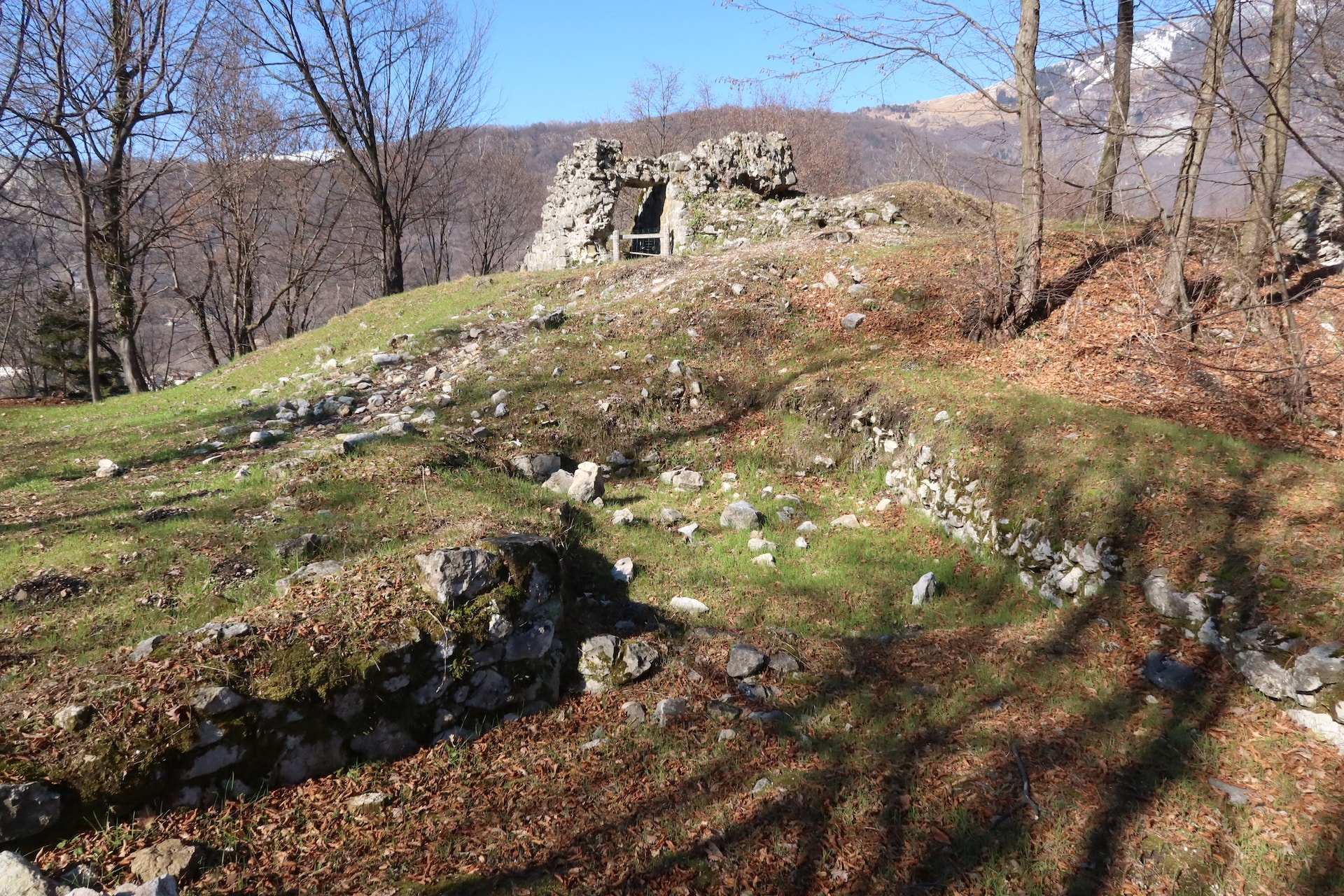
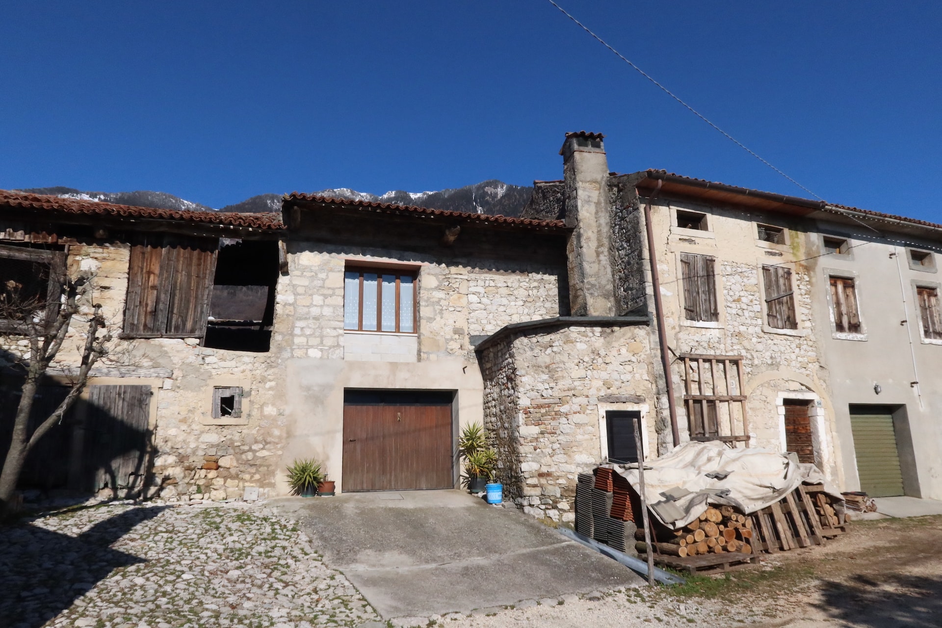
From “Maronese” square in the locality of Fregona, follow the path n. 1037B, called “Pont de Fer”, which leads to the fraction of “Borgo Breda” and continue to the other hamlet of “Borgo dello Scalpellino”. Following the path of the castle n. 1037A, proceed west of the hill where there are the ruins of an ancient fortress that belonged to the “Da Camino” family. From the location of “Borgo Sonego” cross a stretch of wood and then follow the “Strada del Santo” which descends from the small village of “Cadolten”. After the vast meadows called “Col de Vaca”, take the way which leads to “Borgo Piai” and from here, through the old municipal road, reach the “Caglieron” Caves Park. After the visit, return to the municipality of Fregona using the “Pont de Fer” path.
Curiosities
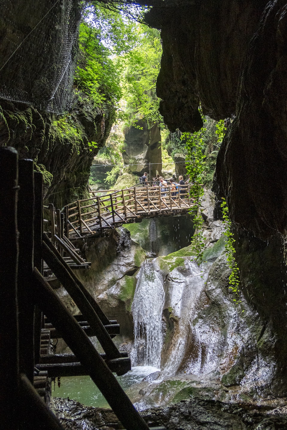
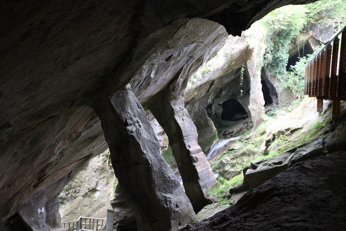
Extraordinary, magical, the “Caglieron” Caves Park attracts thousands of visitors every year because it represents one of the most fascinating places in the entire pre-Alpine area. It seems impossible that from those rocks, eroded by the stream to form a deep gorge crossed by a suspended walkway, they were able to extract the stone using simple tools such as clubs and wooden wedges. “Piera Dolza”, as the sandstone is called in this area, lends itself masterfully to processing thanks to its malleability and for centuries has embellished houses and buildings by providing architraves and steps still visible in the various hamlets of “Ceneda”, “Serravalle”, “Fregona”, “Sonego” and many others neighbouring villages. A complex of caverns, improperly called caves, which are actually old quarries where the extraction of the material took place already in the sixteenth century, which ceased around the fifties. The skilled stonecutters progressively removed the stone thus forming the characteristic cavities and, in order to don’t let the vault fall, perpendicular support columns were left: thus, a particularly suggestive environment was created that cannot be found elsewhere.
Photo Gallery