Walking time
Distance
Altitude difference
A great trail in four stages from Vidor to Vittorio Veneto. A small journey that winds through the hairpin bends in the Core Zone, constantly offering a stunning view. Four days to recharge yourself.

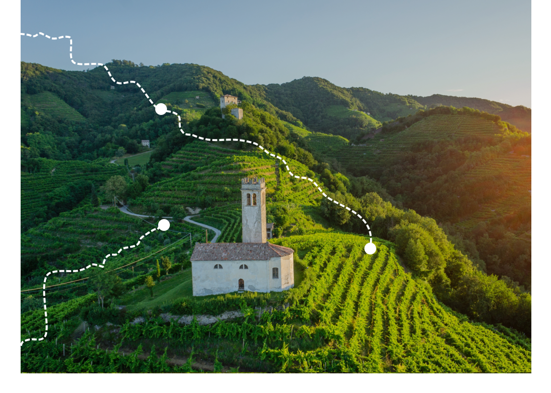
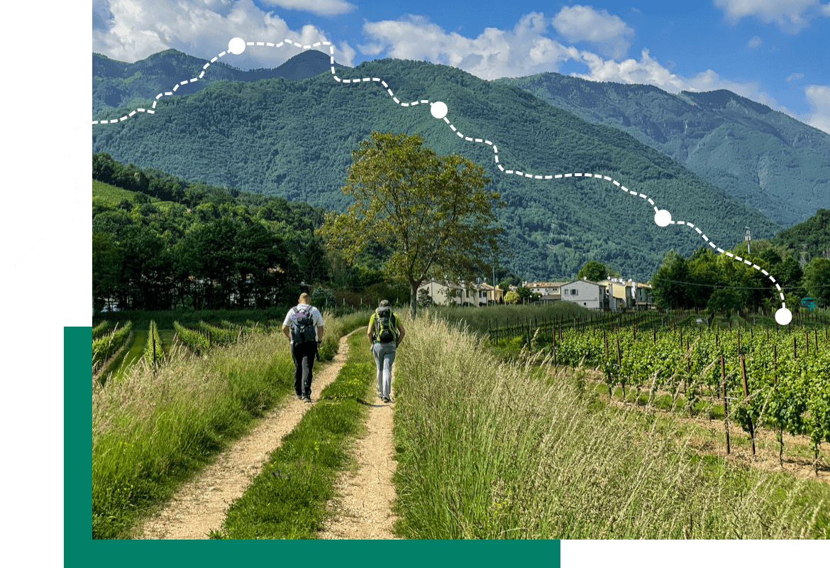
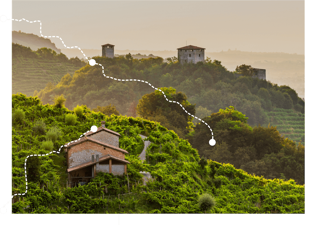
The hiker will be immersed in the infinite beauties of the Treviso pre-Alpine area, from the steep slopes to gentle walks through the fields, from the valleys full of water to the sharp crests of the ridges.

The Conegliano Valdobbiadene path presents a medium-low technical difficulty but still of the hiking type, with a considerable altitude. Some stretches are more demanding and for this reason an optional “North Variation” has been provided which bypasses this segment
The Conegliano Valdobbiadene Prosecco Hills Path extends between Vidor and Vittorio Veneto for 51 km with a positive difference in altitude of 2,265 m and a total duration of 19h. Given the considerable physical effort, it is advisable to follow it in the 4 stages indicated below. The final part includes the 4A solution suitable for expert walkers and the 4B solution with a lower degree of difficulty. Download the complete GPS track below.

Villages, castles, abbeys, churches and popular traditions: the Conegliano Valdobbiadene path also has a strong historical and cultural value. Many sites, for example, bring back memories of the Great War, thanks to numerous trenches, tunnels and military posts visible on the hills

Discovering 40 suggestive tourist and hiking itineraries, to be covered on foot, in the area of the Prosecco Hills of Conegliano and Valdobbiadene, a World Heritage Site